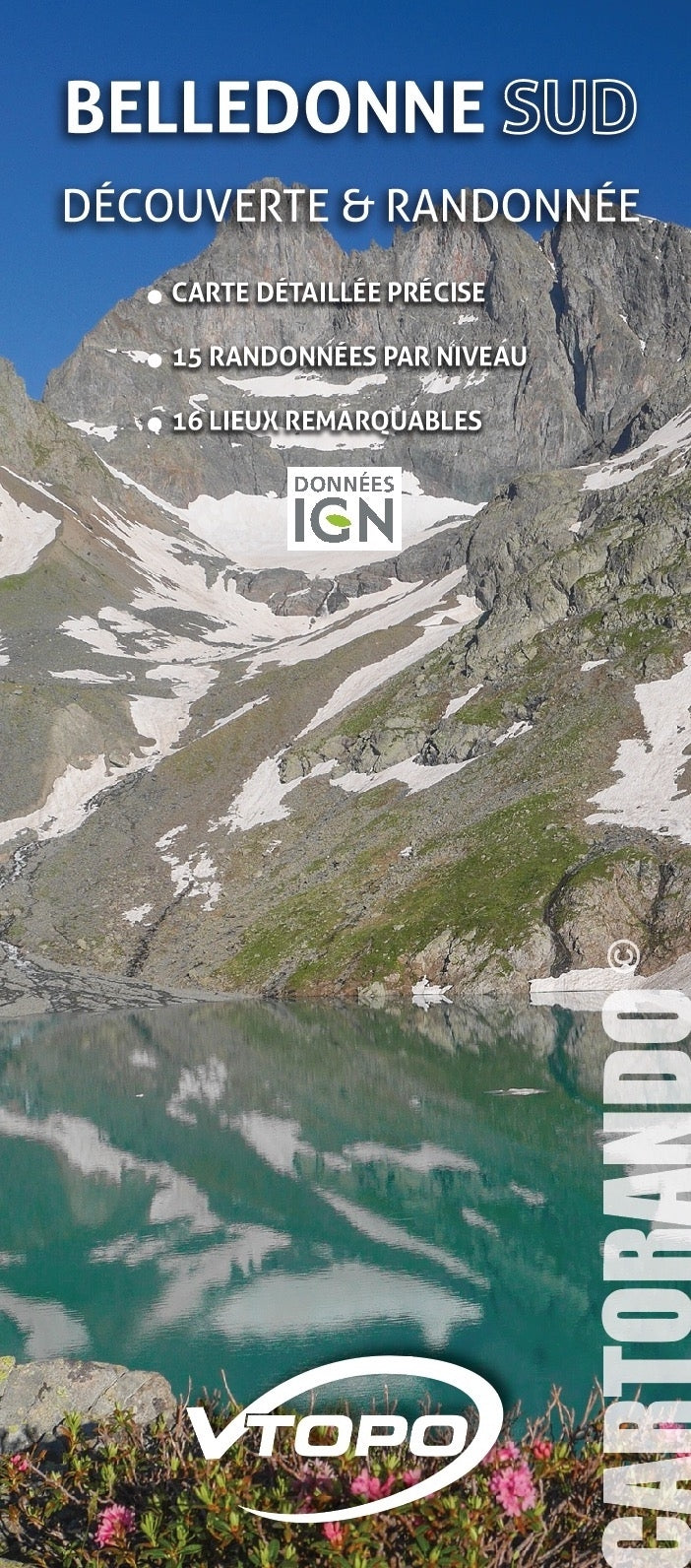
The CARTORANDO collection, suitable for discovery and hiking, are precise maps with described hikes by level:
- background at 1/36,000
- 16 remarkable places presented and identified on the map
- Pays : France
- Région(s) : Auvergne-Rhône-Alpes
- Département(s) : Isère
- Tracé précis sur fond de carte IGN, explicatifs des itinéraires
- Carte résistante au format pratique (11 x 25 cm fermée) et très légere 100 g
- Traces GPS au format GPX compatibes smartphones et GPS portables
- Photos
- Langue(s) : Français
- ISBN : 9782375710418
- Date de parution : June 21, 2019
Free delivery from 60€ in metropolitan France, Andorra and Moncaco.
Shipped within 48 hours.
A link to download your GPS Tracks will be sent to you by e-mail.