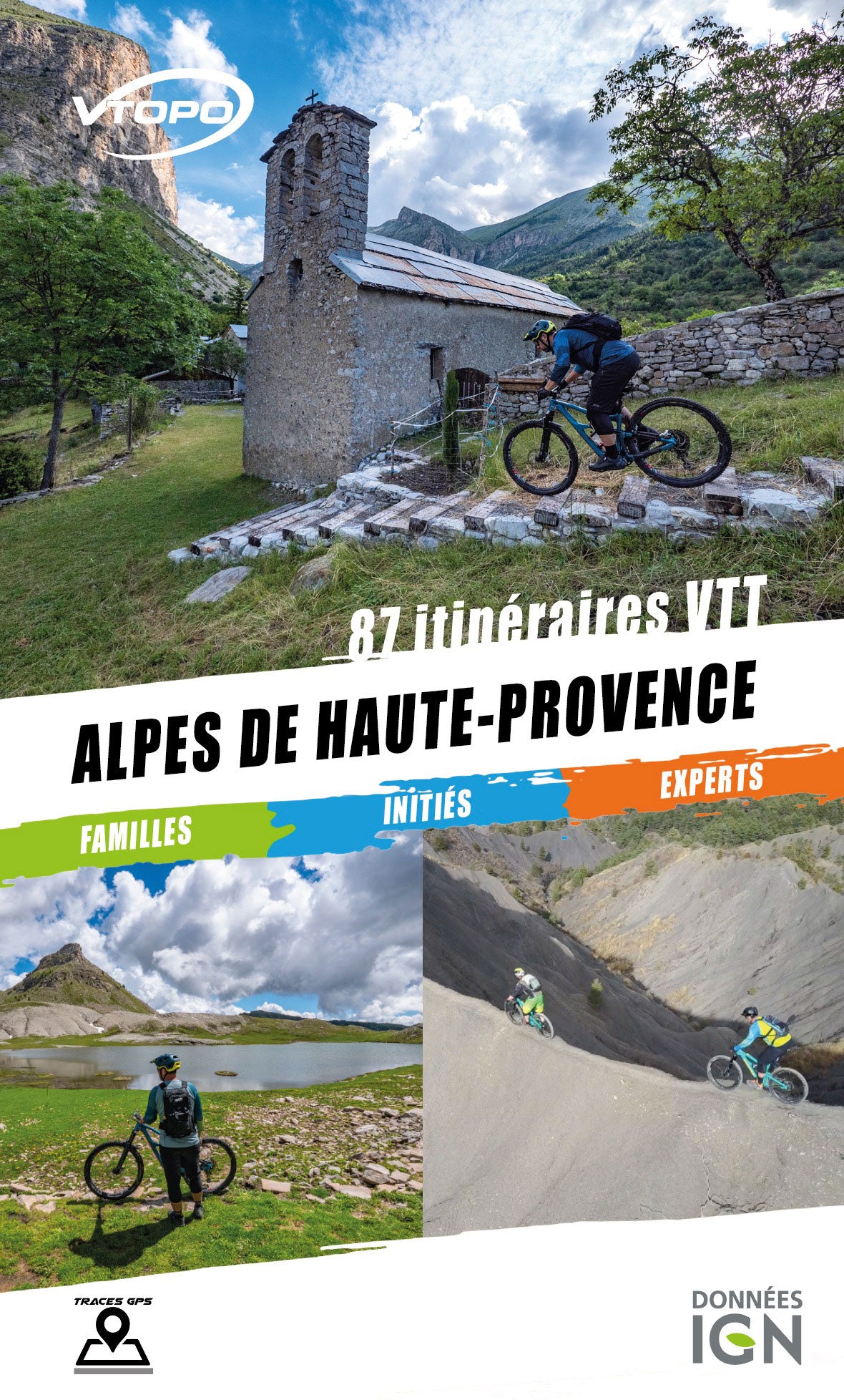


VTOPO mountain biking Alpes de Haute-Provence - 3rd edition
Choisissez
Également disponible dans VTOPO Premium !
- In stock, ready to ship
- Itinéraires adaptés à la pratique du VTTAE (VTT à Assistance Éléctrique)
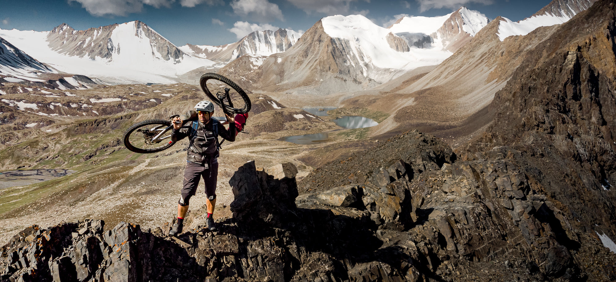
By browsing this VTOPO, you will discover 87 mountain bike circuits for everyone, from family outings to more technical routes to discover the potential of this part of the Alpes de Haute-Provence department.