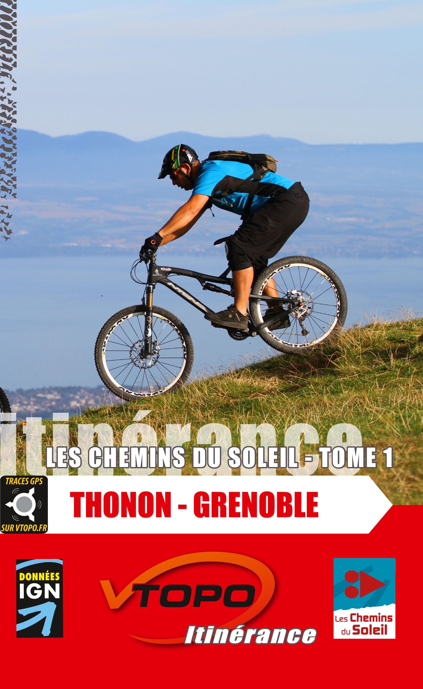


VTOPO MTB Roaming Chemins du Soleil Thonon-les-Bains Grenoble
Choisissez
Également disponible dans VTOPO Premium !
- 1 in stock
- Itinéraires adaptés à la pratique du VTTAE (VTT à Assistance Éléctrique)
- Papier écologique, label Imprim’Vert
After Volumes 2, 3 and 4, between Grenoble, Nice and Valence, this year is the last volume of Les Chemins du Soleil and the first in geographical order. This opus offers a connection between the shores of Lake Geneva, Thonon-les-Bains and the "capital" of the French Alps, Grenoble. Great mountain biking in perspective! With IGN maps, practical information, accommodation... GPS tracks for optional download from the VTOPO library. This is the official guide of the Chemins du Soleil.