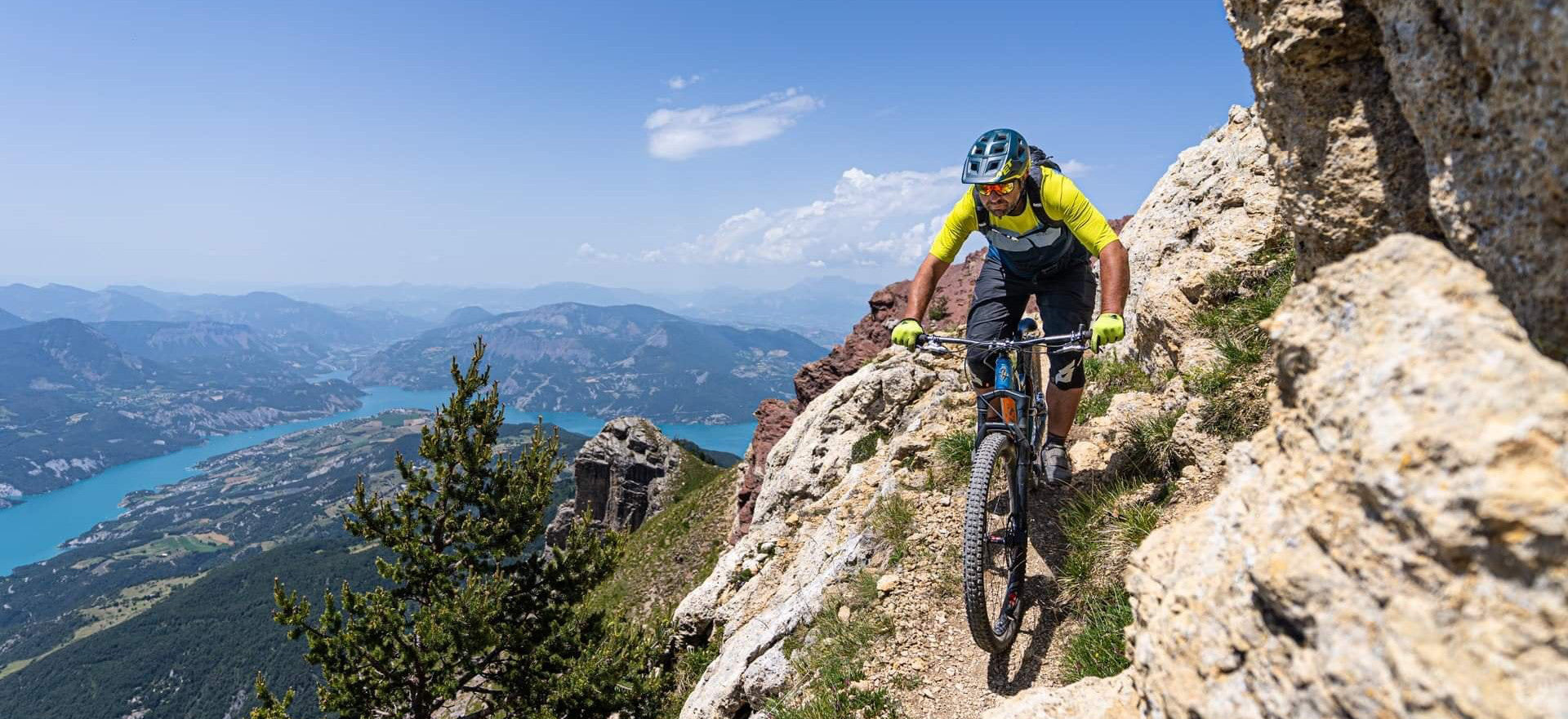
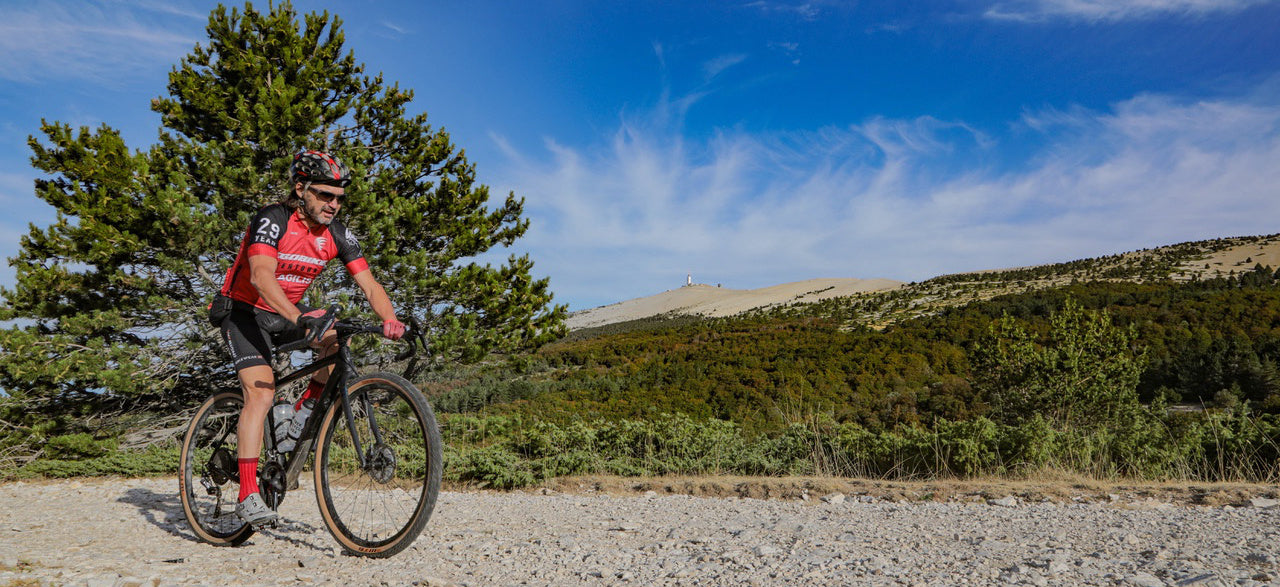
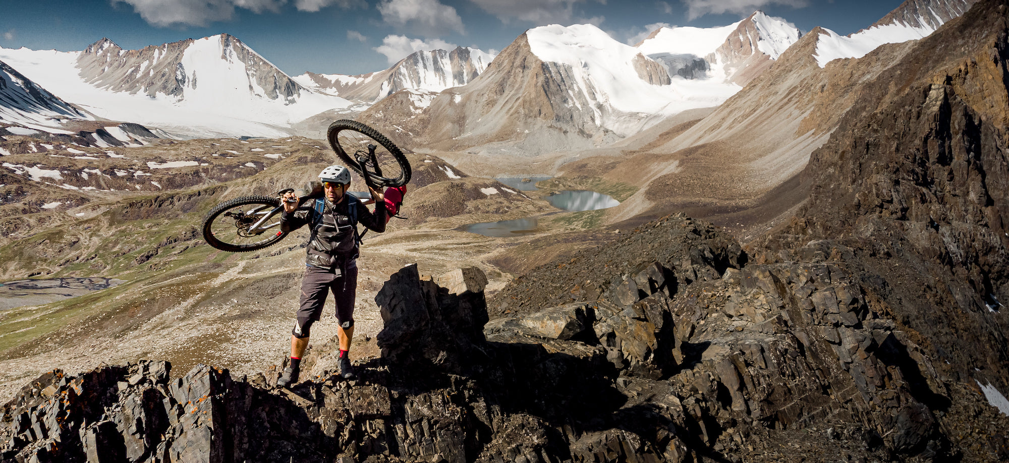
By browsing this VTOPO, you will discover the Grande Traversée des Hautes Alpes and its variants, taking the most beautiful paths and crossing the typical landscapes of the Hautes Alpes. These itineraries are labeled Grandes Traversées VTT by the French Cycling Federation.
From La Grave - Villar d'Arène to Laragne, from the Meije glaciers to the lavender fields, welcome to the Grande Traversée des Hautes-Alpes à VTT©, the HIGHEST long crossing in France at medium altitude. Along its 350 km per variant, this sporty itinerary will offer you in 7 days an incomparable variety of landscapes and thrills.
In this topoguide, each section includes clear and detailed data, IGN maps, useful information, many quality photos, thematic texts and a difficulty rating system ranging from V1 to V6.
- Pays : France
- Région(s) : Provence-Alpes-Côte d'Azur
- Département(s) : High mountains
- Format pratique et léger 400 g
- Traces GPS au format GPX compatibes smartphones et GPS portables
- Des infos récurrentes très utiles : variantes, région, point de vue...
- Avec le système de cotation technique VTOPO de V1 à V6
- Photos
- Langue(s) : French
- ISBN : 9782916972862
- Date de parution : October 1, 2015
Livraison offerte à partir de 60€ en France métropolitaine, Corse, Andorre et Moncaco. Tous les tarifs ici.
Expédié sous 48h dès parution.
Un lien pour télécharger vos Traces GPS vous sera envoyé par e-mail.
Les Traces GPS sont complémentaires du contenu des topo-guide VTOPO.
Nous vous déconseillons d'utiliser uniquement les Traces GPS sans la consultation du topo-guide en question.
Avec ce dernier, vous aurez accès aux niveaux de difficultés, à des recommandations, des précautions et à un descriptif détaillé, utile en cas d'erreur d'orientation. Vous aurez aussi la possibilité de visualiser des variantes et autres possibilités.

