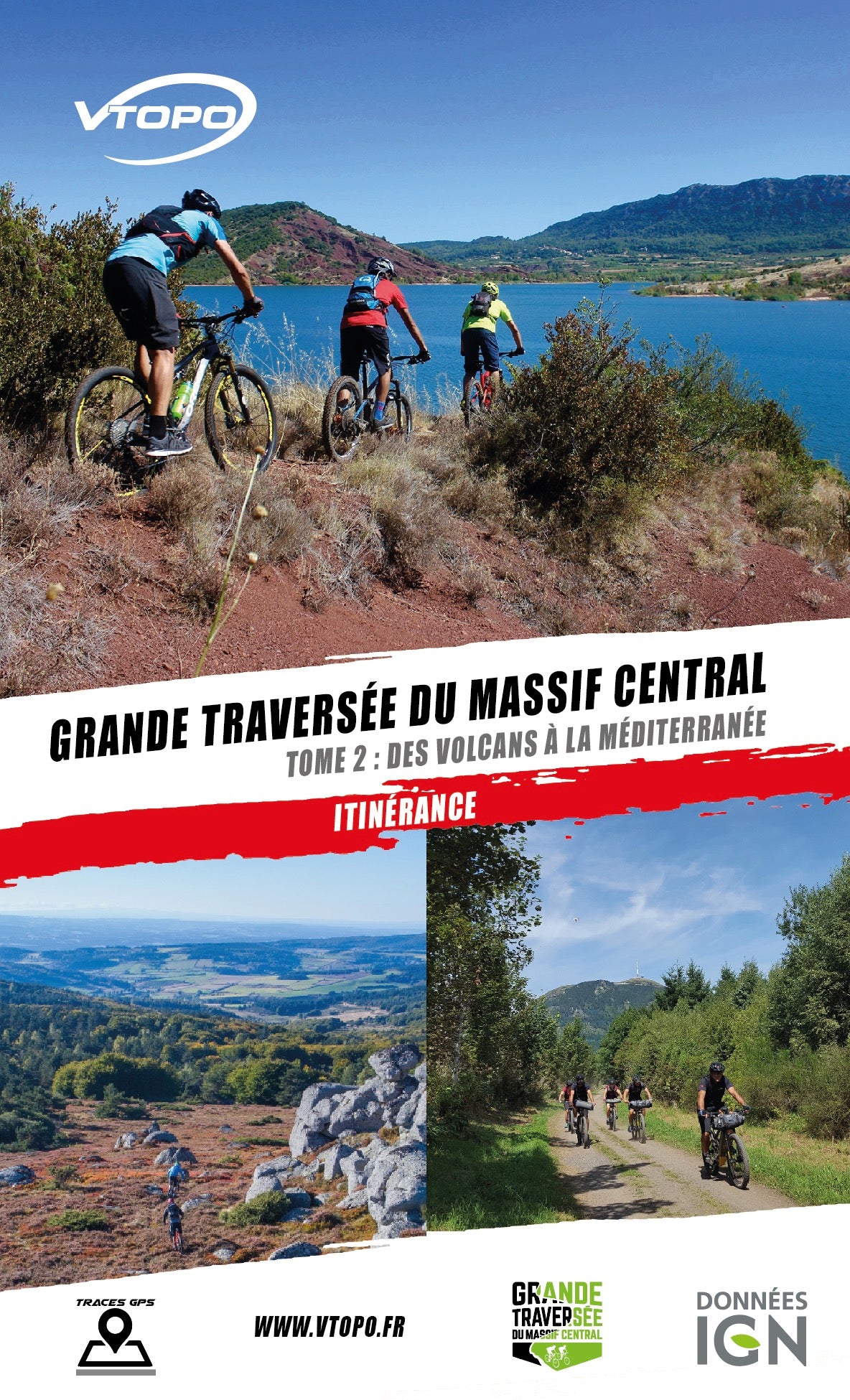


VTOPO MTB Roaming Great Crossing of the Massif Central - Volume 2
Choisissez
Également disponible dans VTOPO Premium !
- 2 in stock
- Auvergne Volcanoes, Margeride, Cevennes, Grands Causses, Haut-Languedoc, and Mediterranean Coastline
This Volume 2 will take you from the volcanoes of Auvergne and its capital, Clermont-Ferrand, to Cap d'Agde on the shores of the Mediterranean. Along the way, you will cross the high forests of Margeride, the mountains and valleys of the Cévennes, the immensities of the Causses and discover the Languedoc vineyards.