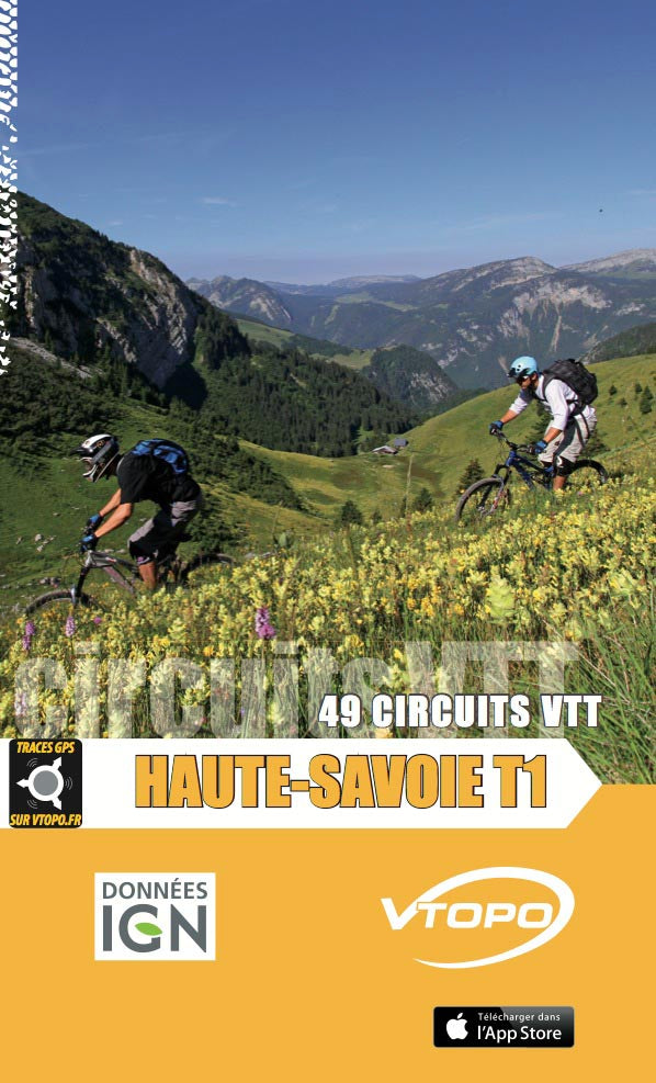


VTOPO MTB Haute-Savoie - Volume 1
Choisissez
Itinéraires également disponible dans VTOPO Premium !
- In stock, ready to ship
- Itinéraires adaptés à la pratique du VTTAE (VTT à Assistance Éléctrique)
- Papier écologique, label Imprim’Vert
- Saleve, Geneva Country, Lake Annecy, Semnoz, Petit Semnoz, Bourget Lake, Thick headed, Aravis, and Crossing
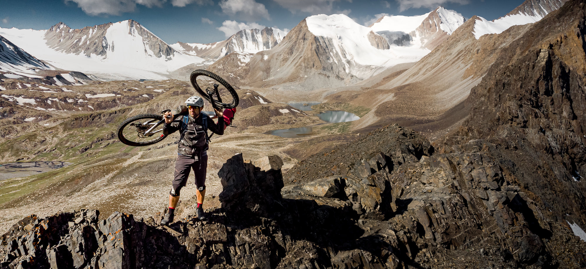
With clear and detailed data, precise maps, useful information and quality photos, the VTOPO becomes the essential reference for enjoying these massifs 100%. Finally, all circuits are evaluated using a relevant rating system ranging from V1 to V6.