Ile de France - NORTH and EAST
If Ile-de-France is one of the most populated regions (20% of the inhabitants of the metropolis), this does not mean that woods and fields are absent. Indeed, the majority of the population is concentrated around the capital. 48% of the area of the region is managed by farmers and 75% of the territory is devoted to natural areas (including forests and agricultural areas). So there is plenty of room for outdoor activities! Waterways are also numerous, with a network of 4400 km of streams and rivers.
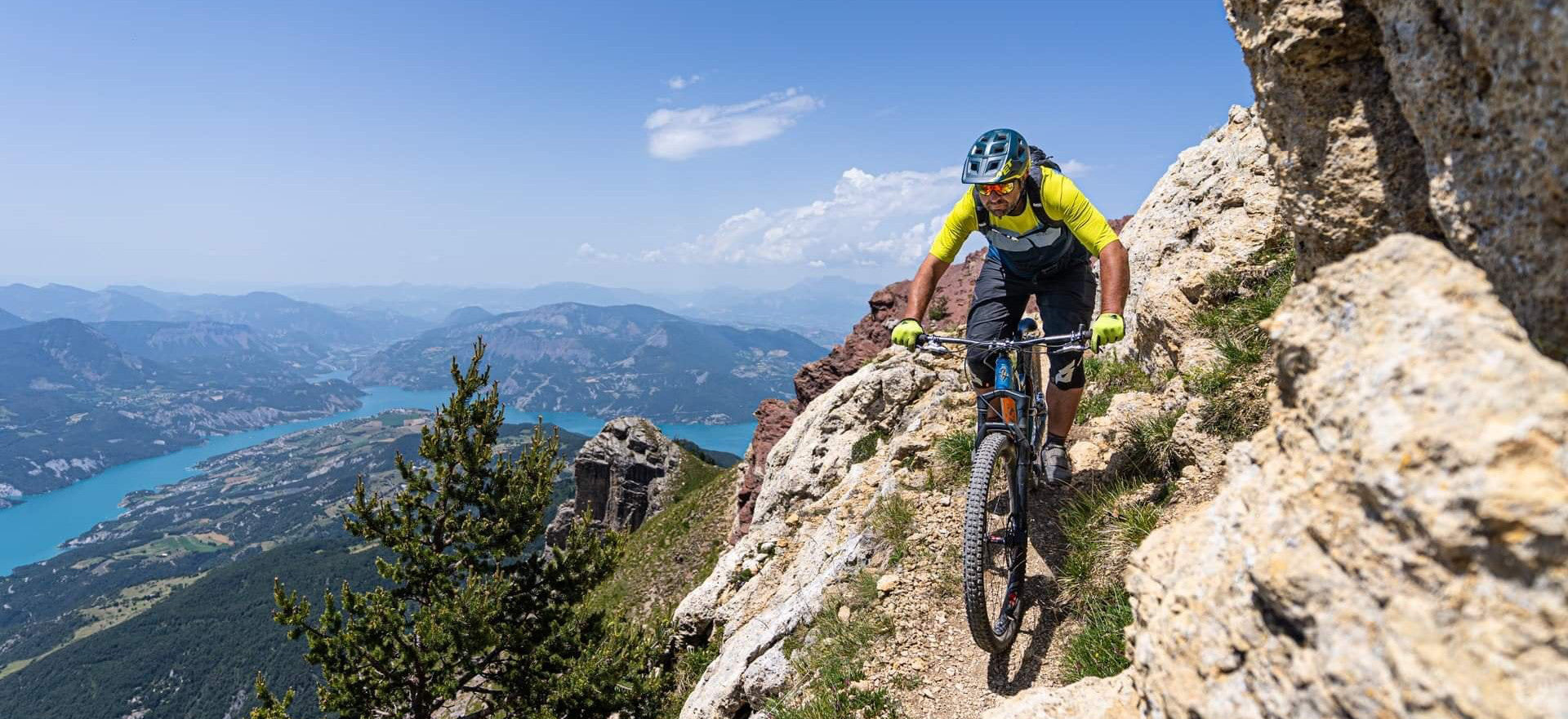
As a result, one can find superb playgrounds for nature lovers. Very varied, they will delight mountain bikers. To the north, the Val d'Oise is home to two Regional Natural Parks, that of Vexin and that of Oise, Pays de France. To the east, Seine-et-Marne is the largest of the departments. Two sectors stand out: the region of Meaux, more hilly, and that between Melun and Provins, less marked.
You will encounter different terrains during your outings. In the north, the soil is more calcareous. The paths are more stony and certain passages will make you think of mountain paths. The east of Ile-de-France, around the Marne, will be more clayey. The soil will be wetter and fatter. In the south-east you will find limestone landscapes, through the great cereal plains.
The cutting
Here is the zone-by-zone division chosen in this VTOPO:
LE VEXIN, a vast plateau, offers varied landscapes: hillsides and valleys, marshes and woods. Three main rivers criss-cross it: the Seine, the Oise and the Epte. These helped to shape the landscape of northern Paris. Gyspe and limestone make up most of the subsoil. State forests and agricultural areas are the landscapes crossed by the circuits.
The OISE is the second park which constitutes the north of Ile-de-France. Beginning in the Val d'Oise, it continues in the Oise. Centered on the Chantilly forest and its equestrian school, it presents a maze of paths, woods and valleys. The historical heritage is very present there: abbeys, castles and archaeological sites.
To the east, the Plateau de Brie, with LES VALLEES DE L'OURCQ, DU GRAND MORIN and LA MARNE, make up the landscapes of the Meaux region. The terrain is shaped by the various waterways that criss-cross the area.
Between Meaux and the inner suburbs is LA PLAINE DE FRANCE, a more urbanized area stretching from Sarcelle to Chelles. The limestone plateau has many cultivated areas. The proposed routes run along the Marne and the Ourcq. Despite the population density, it is possible to drive there on long loops.
To the south-east, vast plains emerge. Alternating crops and forests, they make up LA BRIE. Crisscrossed by wide paths, but also by pleasant trails, the area offers great opportunities for outings. The highlight of the region, the castle of Vaux-Le-Vicomte.