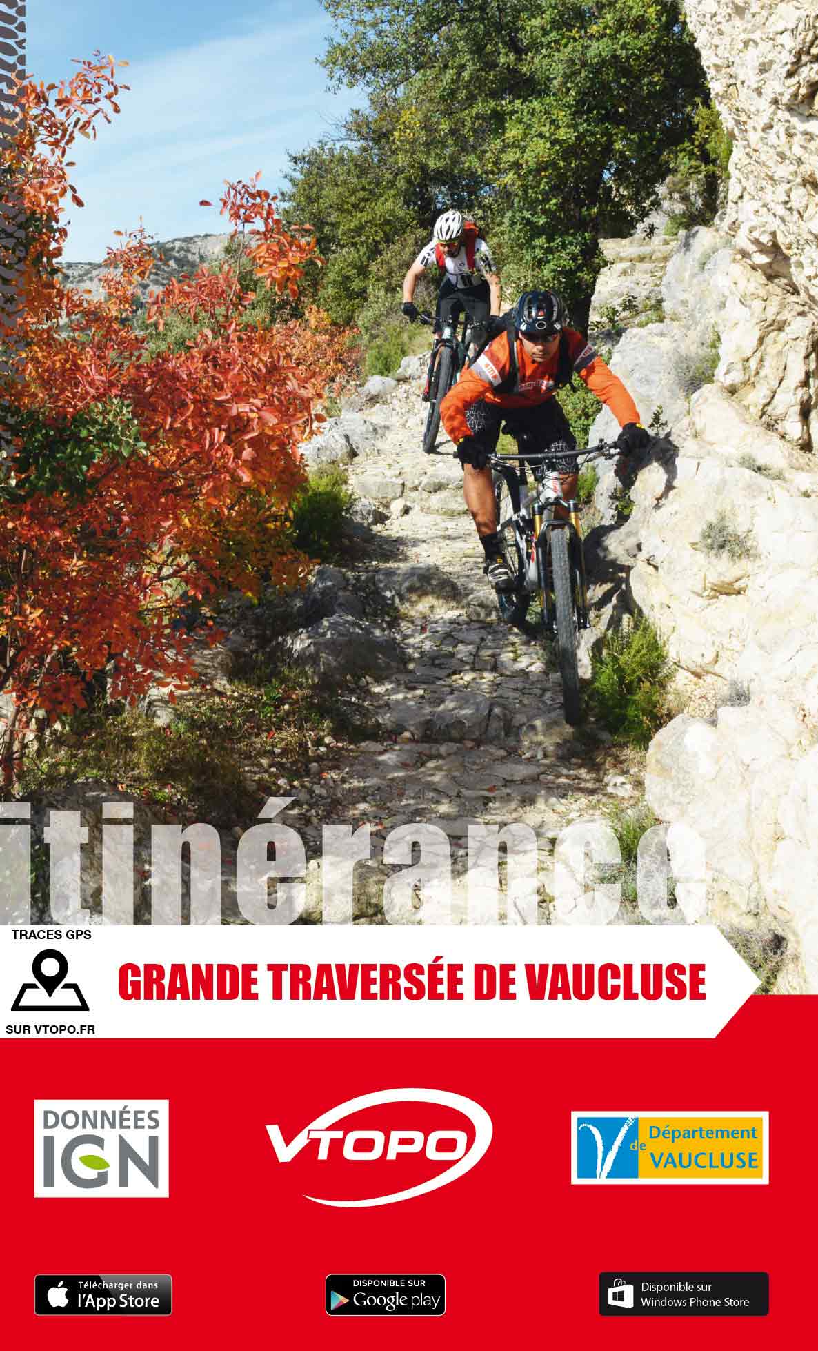


VTOPO MTB Roaming Great Crossing of Vaucluse
Choisissez
Également disponible dans VTOPO Premium !
- In stock, ready to ship
- Itinéraires adaptés à la pratique du VTTAE (VTT à Assistance Éléctrique)
- Mont Ventoux, Dentelles De Montmirail, Monts De Vaucluse, Greater Luberon, and Little Luberon
By browsing this VTOPO, you will discover the Grande Traversée de Vaucluse and its variants, taking the most beautiful paths and crossing the typical landscapes of Vaucluse: Mont Ventoux, Dentelles de Montmirail, Monts de Vaucluse, Grand Luberon, Petit Luberon.
In this topoguide, each section includes clear and detailed data, IGN maps, useful information, many quality photos, thematic texts and a difficulty rating system ranging from V1 to V6.