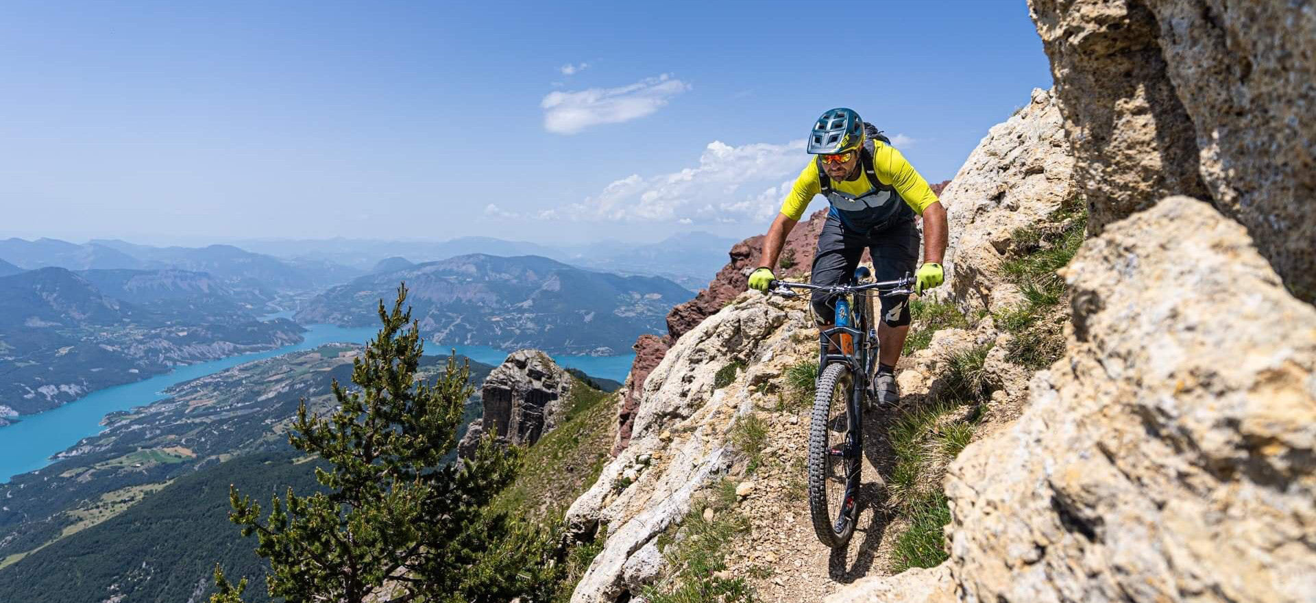
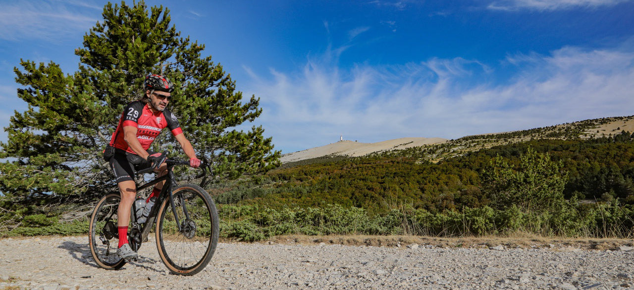
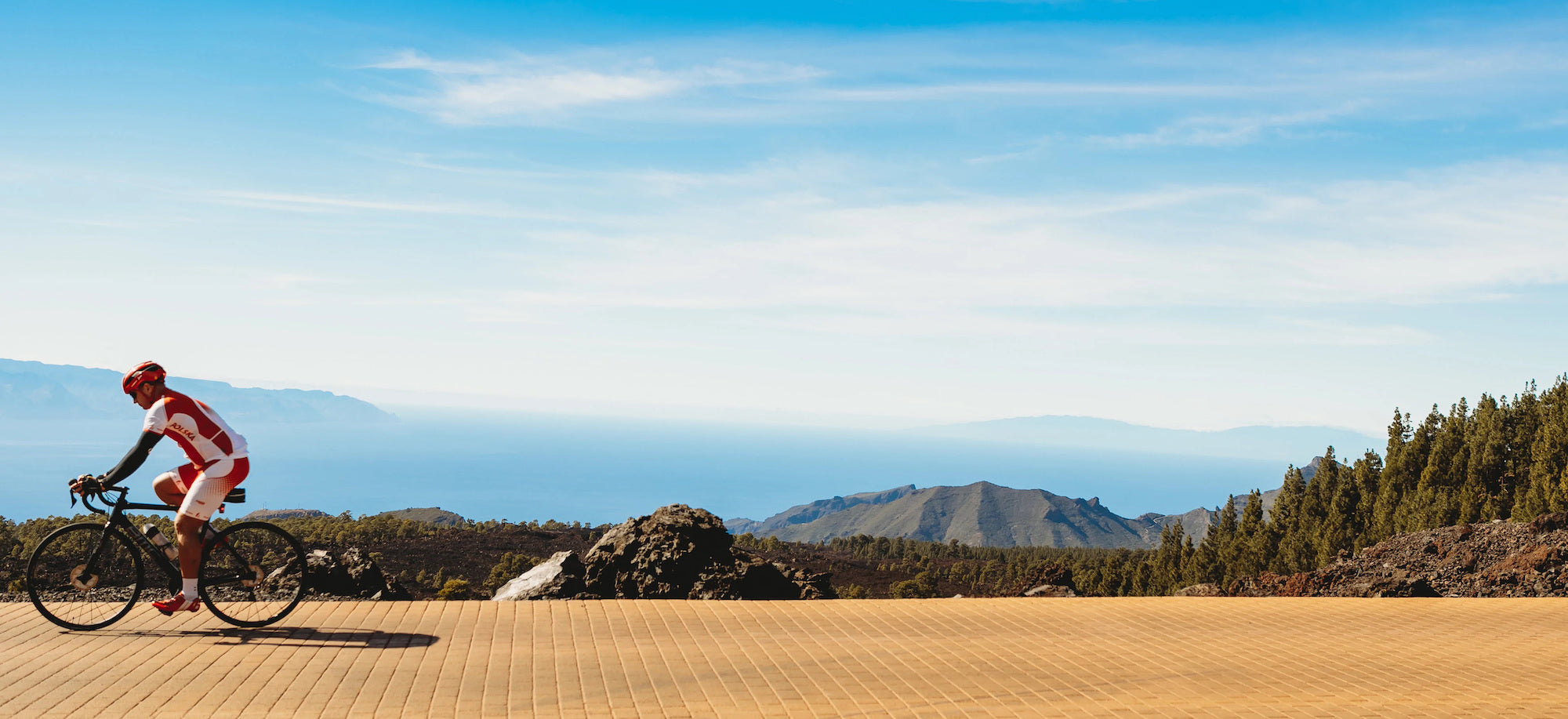
This VTOPO Vaucluse presents 77 mountain bike routes for everyone; family walks, more technical hikes, but also real enduro sessions and beautiful itineraries of 2 to 3 days.
The difficulty of each course is estimated using a relevant rating system, ranging from V1 to V6. With clear and detailed data, precise maps, useful information and quality photos, this VTOPO is a reference work, essential to take full advantage of the enormous potential of this territory.
- Pays : France
- Région(s) : Provence-Alpes-Côte d'Azur
- Département(s) : Vaucluse
- 77 circuits détaillés avec cartes IGN
- Format pratique et léger 400 g
- Traces GPS au format GPX compatibles App smartphones et GPS portables
- Des infos récurrentes très utiles : variantes, région, point de vue...
- Avec le système de cotation technique VTOPO de V1 à V6
- Photos
- Langue(s) : French
- Auteur(s) : ["Jean-Marc Brancart, Sylvain Dechavanne, and Eric Garnier »]
- ISBN : 9782375710104
- Date de parution : July 4, 2017
- Édition suivante : VTOPO MTB Vaucluse - 4th edition
Livraison offerte (sauf MON AFGHANISTAN : un français au cœur des montagnes, livre de plus de 2kg) à partir de 60€ en France métropolitaine, Corse, Andorre et Moncaco. Tous les tarifs ici.
Expédié sous 48h dès parution.
Un lien pour télécharger vos Traces GPS vous sera envoyé par e-mail.
Les Traces GPS sont complémentaires du contenu des topo-guide VTOPO.
Nous vous déconseillons d'utiliser uniquement les Traces GPS sans la consultation du topo-guide en question.
Avec ce dernier, vous aurez accès aux niveaux de difficultés, à des recommandations, des précautions et à un descriptif détaillé, utile en cas d'erreur d'orientation. Vous aurez aussi la possibilité de visualiser des variantes et autres possibilités.


