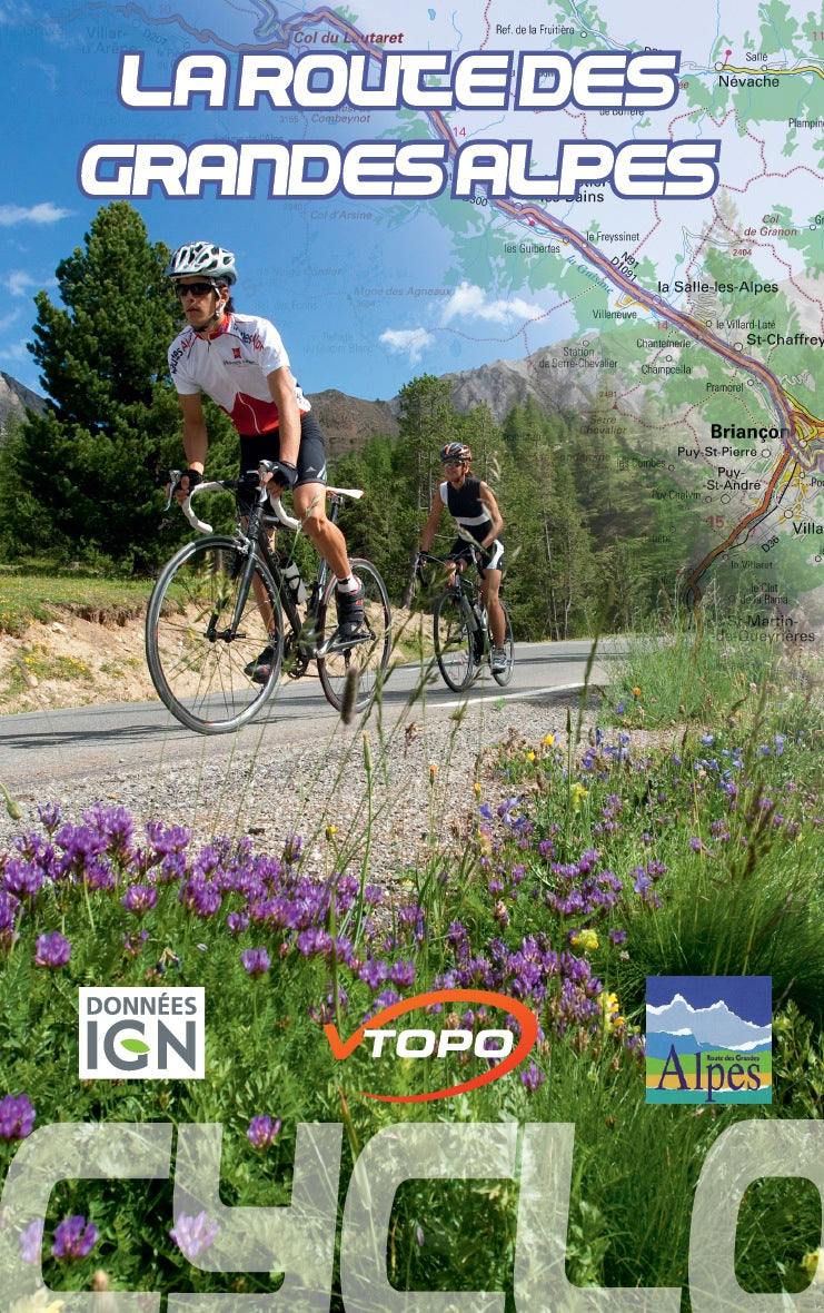


VTOPO Cyclo The Route of the Great Alps
Choisissez
- In stock, ready to ship
- Papier écologique, label Imprim’Vert
By browsing this VTOPO, you will discover the legendary road route that connects Lake Geneva to the Mediterranean, from Thonon-les-Bains to Nice, via the most beautiful Alpine passes. From north to south, or vice versa, the route is sporty and full of discoveries in the face of the many facets of alpine diversity.
Because a roaming of more than 600 kilometers cannot be improvised, this new collection signed VTOPO is an invitation to travel by bike. The route, divided into 12 stages for each direction, allows the discovery of the territories crossed. Six variants can allow you to escape a little from the main route, or offer the possibility of weekend getaways.
These VTOPO Cyclo are characterized by a targeted approach: each section includes clear and detailed data, IGN maps, profiles, useful information, many quality photos, a list of accommodation, a Green, Blue, Red color code , Black indicating the difficulty of the section.